Mount Adams, Washington’s second tallest volcano, stands quietly in the Cascade Range today. While it hasn’t erupted for thousands of years, scientists from the Cascades Volcano Observatory keep a watchful eye on this sleeping giant. Recently, some small earthquakes were detected near the mountain, though experts say there’s no immediate threat of eruption.
If Mount Adams were to erupt, we would likely see lava flows rather than massive explosions, as this volcano typically produces effusive rather than explosive eruptions. The Pacific Northwest Seismic Network would detect increased earthquake activity well before any eruption, giving nearby communities time to prepare. Unlike Mount St. Helens’ devastating 1980 eruption, Mount Adams’ history suggests its eruptions tend to be less catastrophic but could still impact surrounding wilderness areas.
Find available hotels and vacation homes instantly. No fees, best rates guaranteed!
Check Availability Now
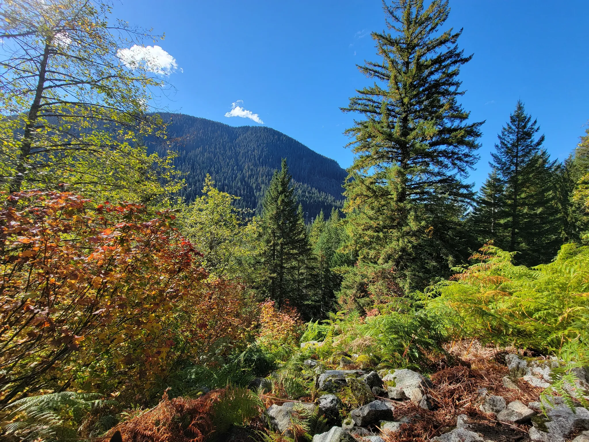
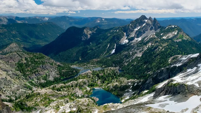
Hikers and nature enthusiasts who love exploring Washington’s volcanic landscapes often wonder about these “what if” scenarios. While enjoying trails around the mountain, visitors can observe geological features shaped by ancient eruptions. For those interested in exploring Washington’s volcanic history safely, the Iron Goat Trail offers a fascinating journey through another part of the state with its own geological stories to tell.
Potential Impact and Immediate Hazards
If Mount Adams were to erupt, several hazards would threaten surrounding communities and landscapes. These dangers range from flowing lava and airborne materials to powerful mudflows and seismic activity.
Lava Flows and Pyroclastic Materials
Mount Adams’ eruption history suggests that lava flows would be a primary hazard. These flows typically move slowly down the mountain slopes, destroying everything in their path. While not typically explosive, these flows can be dangerous, especially on steep terrain.
On steeper slopes, lava flows might break apart and form pyroclastic flows – fast-moving mixtures of hot gas, ash, and rock fragments. These flows can travel at speeds exceeding 50 mph, making them extremely dangerous to nearby communities.
Tephra (volcanic ash and larger fragments) would also present significant problems. Even though Mount Adams isn’t known as a major tephra producer, ash clouds could still affect air quality, damage equipment, and disrupt air travel in the region.
Visibility would be severely limited during ashfall events, creating dangerous conditions for those attempting to evacuate or navigate the area.
Lahars and Flooding
Perhaps the most dangerous threat from a Mount Adams eruption would be lahars – volcanic mudflows created when hot volcanic materials melt snow and ice on the mountain.
These powerful mudflows can travel long distances down river valleys, destroying bridges, roads, and buildings. Mount Adams has 12 glaciers, providing ample water for potentially massive lahars.
Communities like Trout Lake in the path of these flows would face significant danger. The mudflows can reach depths of several feet and carry boulders, trees and other debris.
Even a relatively small eruption could produce devastating lahars as glacier ice melts and mixes with volcanic material. These flows don’t require large eruptions to pose serious threats to downstream areas.
Historical evidence shows previous lahars have traveled many miles from Mount Adams, reshaping valleys and floodplains.
Earthquakes and Ground Deformation
An erupting Mount Adams would produce significant earthquake activity. These quakes, while usually not extremely powerful individually, can occur in swarms that weaken structures over time.
Seismic activity typically increases before an eruption as magma moves beneath the surface. Recent monitoring has detected unusual earthquake patterns at Mount Adams, though scientists don’t currently see signs of imminent eruption threats.
Ground deformation would occur as magma rises and creates pressure. This can cause the mountain to swell slightly, creating unstable slopes and increasing landslide risks.
Landslides and debris avalanches are particularly concerning at Mount Adams. Similar to what happened during the Mount St. Helens eruption, large sections of the mountain could collapse, creating massive debris flows that would threaten hiking areas like the scenic Iron Goat Trail.
Preparation and Response Strategy
Being ready for a potential Mount Adams eruption requires careful planning and coordination among government agencies, local communities, and emergency responders to minimize risk and protect lives.
Monitoring and Early Warning Systems
Mount Adams, classified as a high-threat volcano by the U.S. Geological Survey, requires robust monitoring capabilities. The Cascades Volcano Observatory maintains seismic equipment around the volcano to detect early signs of activity. These instruments can identify even small earthquakes that might signal magma movement.
Recent improvements include installing additional monitoring stations after six small earthquakes were detected in September, the most significant seismic activity at Mount Adams in over 40 years. This network provides crucial data to scientists who analyze patterns.
Early warning systems would give communities in southwest Washington precious time to evacuate. Alerts would be distributed through emergency notification systems, social media, and traditional media channels. Scientists can typically detect warning signs days or weeks before an imminent eruption.
Community Safety Measures
Local communities near Mount Adams have developed evacuation plans specifically for volcanic events. These plans identify safe routes away from potential lahar paths and designate emergency shelters in safer locations.
Regular drills help residents practice evacuations and familiarize themselves with emergency procedures. Schools, hospitals, and other public facilities maintain emergency kits and conduct regular safety training.
Lahar monitoring stations provide warnings for these dangerous mud and debris flows that could put thousands at risk. Communities have established emergency communication systems that work even if power and cellular networks fail.
Public education campaigns help residents recognize warning signs and understand proper response actions. Emergency management offices distribute volcano hazard maps showing areas at highest risk from lahars, ash fall, and other volcanic hazards.
Environmental and Infrastructure Protection
Infrastructure protection focuses on securing critical systems like water supplies, power grids, and transportation networks. Treatment facilities need protection from ash contamination, while roads may require special maintenance plans to clear volcanic debris.
Agricultural guidance helps farmers protect livestock and crops from ash fall. Environmental teams monitor air and water quality to detect dangerous levels of volcanic gases or contamination.
Forestry services develop plans to manage wildfire risks that could increase following an eruption. Protection of the unique Indian Heaven volcanic field and surrounding wilderness areas incorporates specialized environmental considerations.
Regional coordination ensures that resources from across the Cascade Range can be mobilized quickly. While enjoying nearby attractions like the historic Iron Goat Trail, visitors can appreciate how these safety measures allow people to safely experience the beauty of Washington’s volcanic landscapes.
Find available hotels and vacation homes instantly. No fees, best rates guaranteed!
Check Availability Now
Iron Goat Trail Hiking Guide: Exploring Washington’s Scenic Railway Path
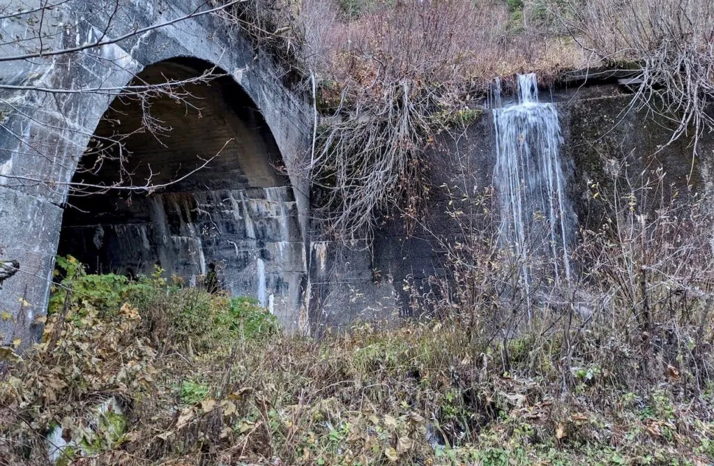
Iron Goat Trail History: Exploring the Legacy of the Great Northern Railway
Things to Do Near Skykomish, Washington
