Washington state’s volcanic landscape is stirring with activity as Mount Adams has been rumbling at a record rate. Six low-intensity earthquakes were detected beneath this massive peak during September, marking the most seismic activity recorded at the mountain since monitoring began in 1982. Geologists from the U.S. Geological Survey have issued an alert about this “high threat” volcano, but they also reassure the public that there’s little chance of an imminent eruption.
The Pacific Northwest Seismic Network continues to closely monitor all five of Washington’s active volcanoes, including the famous Mount Rainier, which looms less than 70 miles from Seattle. Mount Saint Helens, Mount Baker, and Glacier Peak round out the state’s impressive collection of potentially active giants. This recent activity at Mount Adams has actually drawn scientists away from other planned monitoring projects in the region, with some installations now delayed until 2026.
Find available hotels and vacation homes instantly. No fees, best rates guaranteed!
Check Availability Now
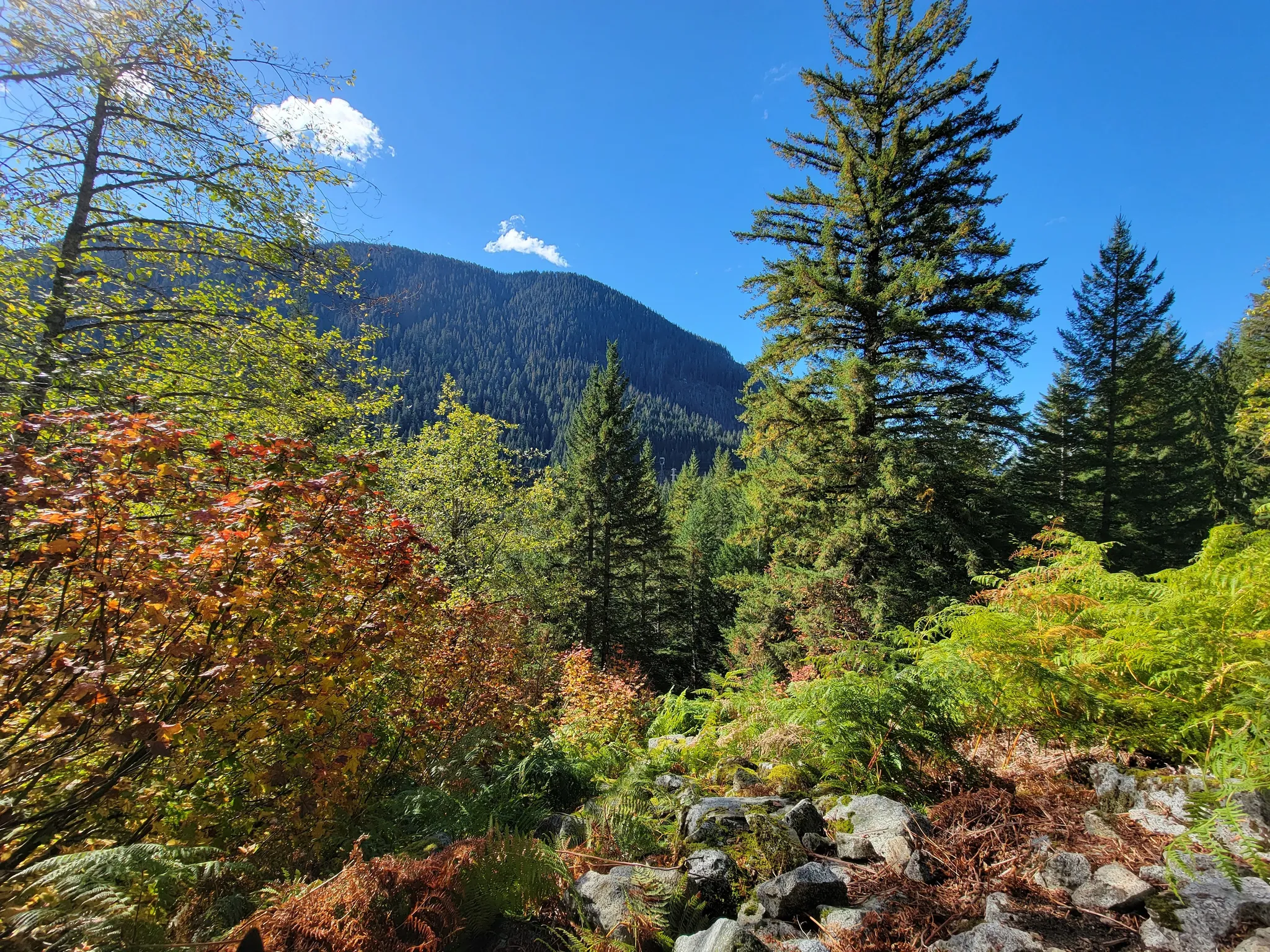
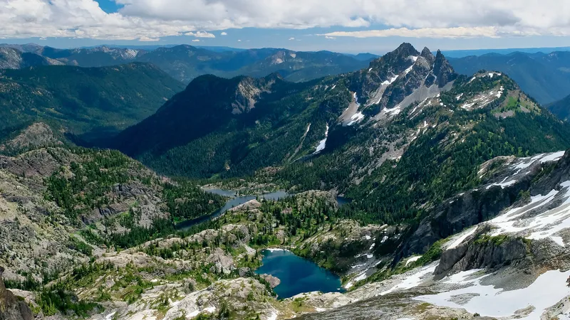
For visitors to Washington who find themselves drawn to these magnificent landmarks, there are numerous safe vantage points to appreciate their grandeur. The Iron Goat Trail offers breathtaking views of the Cascades while keeping a respectful distance from any potential volcanic activity. This historic trail lets hikers experience Washington’s natural beauty while learning about both geological wonders and the region’s fascinating railroad history.
Current Seismic Activity and Monitoring
Washington’s volcanoes are being closely watched as unusual earthquake patterns have scientists on alert. Recent monitoring shows increased activity, particularly at Mount Adams, prompting new equipment deployments and heightened observation.
Seismic Activity and Earthquakes
Mount Adams has experienced a surprising increase in earthquake activity recently. The volcano typically only has one earthquake every two or three years, but six earthquakes were recorded in September 2024 alone. This marks the highest number in a single month since monitoring began in 1982.
Scientists consider this pattern unusual enough to warrant special attention. While these small tremors don’t necessarily indicate an imminent eruption, they represent a significant change in the mountain’s behavior.
Other Washington volcanoes also show regular seismic activity. Mount Rainier is one of the most seismically active volcanoes in the Washington and Oregon Cascades, with constant monitoring since 1985.
Observations by Cascades Volcano Observatory
The Cascades Volcano Observatory (CVO) works with the Pacific Northwest Seismic Network (PNSN) to monitor Washington’s five active volcanoes: Mount Rainier, Mount St. Helens, Mount Adams, Mount Baker, and Glacier Peak.
In response to the unusual activity at Mount Adams, scientists have begun installing new monitoring equipment around the volcano. These additional seismic sensors help provide more detailed data about what’s happening beneath the surface.
The U.S. Geological Survey (USGS) uses a network of seismic stations positioned strategically around each volcano. For Mount Rainier, these stations are located within 12 miles of the volcano to provide accurate readings.
Ground Deformation and Magma Movement
Scientists monitor ground deformation—changes in the shape of a volcano—as potential signs of magma movement underground. When magma rises toward the surface, it can cause the ground to swell slightly.
The USGS uses satellite imagery and ground-based instruments to detect these subtle changes. At Mount Adams, despite the increased earthquakes, geologists have indicated there’s little chance of an eruption soon.
Gas emissions are another important indicator. When magma rises, it releases gases that can be measured at the surface. Current monitoring shows no significant changes in gas emissions at Mount Adams.
Hikers enjoying the nearby Iron Goat Trail often marvel at these sleeping giants in the distance, unaware of the sophisticated monitoring networks keeping watch over Washington’s volcanic landscape.
Impacts on Local Areas and Preparedness
Washington’s rumbling volcanoes pose significant threats to surrounding communities through various hazards that require careful monitoring and preparation. Emergency systems throughout the region work to keep residents safe from potential volcanic activity.
Risk of Lahars and Landslides
One of the most dangerous threats from Washington’s active volcanoes isn’t the eruption itself, but the resulting lahars—powerful mudflows that can travel at high speeds. These volcanic mudflows could inundate communities surrounding Mt. Rainier in as little as 30 minutes.
Mount Rainier poses a particularly serious threat because of its size and proximity to populated areas. Experts believe an eruption would create grave dangers for millions who live in the southern and eastern parts of the Seattle metropolitan area.
Multiple Washington volcanoes, including Mount Baker, Glacier Peak, Mount Rainier, Mount Adams, and Mount St. Helens, all have the potential to generate lahars that threaten nearby communities. Each volcano creates unique patterns of community exposure to these hazards.
Public Safety and Alert Systems
The United States Geological Survey (USGS) continuously monitors these volcanoes and ranks four Washington volcanoes—including Mount St. Helens and Mount Rainier—as very high threat locations. This designation helps prioritize monitoring resources.
Washington Emergency Management works alongside the USGS to maintain preparedness plans and educational resources for communities in potential danger zones. They provide maps showing threat assessments and active volcano locations throughout the state.
Early warning systems, including seismic monitors and gas detection equipment, help scientists track volcanic activity. When increased rumbling occurs, officials can issue timely alerts to affected communities.
Hikers enjoying places like the scenic Iron Goat Trail should familiarize themselves with local emergency procedures, as this historic pathway sits within the broader Cascade volcanic region where these monitoring efforts remain crucial for visitor safety.
Find available hotels and vacation homes instantly. No fees, best rates guaranteed!
Check Availability Now
Iron Goat Trail Hiking Guide: Exploring Washington’s Scenic Railway Path
Iron Goat Trail History: Exploring the Legacy of the Great Northern Railway
Things to Do Near Skykomish, Washington
