Mount Rainier stands majestically as one of Washington state’s five active volcanoes, located less than 70 miles from Seattle. Many residents and visitors to the Emerald City wonder what might happen if this sleeping giant were to awaken. The mountain’s size and proximity to populated areas make this a valid concern for emergency management officials and residents alike.
If Mount Rainier erupts, Seattle would likely be spared from the most dangerous direct impacts such as pyroclastic flows, but could experience ash falls depending on wind patterns. The greater danger would affect communities in the South Sound region, where massive mudflows called lahars could flow through river valleys. These fast-moving slurries of rock, mud and water can travel for miles, potentially reaching populated areas that were built on deposits from previous eruptions.
Find available hotels and vacation homes instantly. No fees, best rates guaranteed!
Check Availability Now
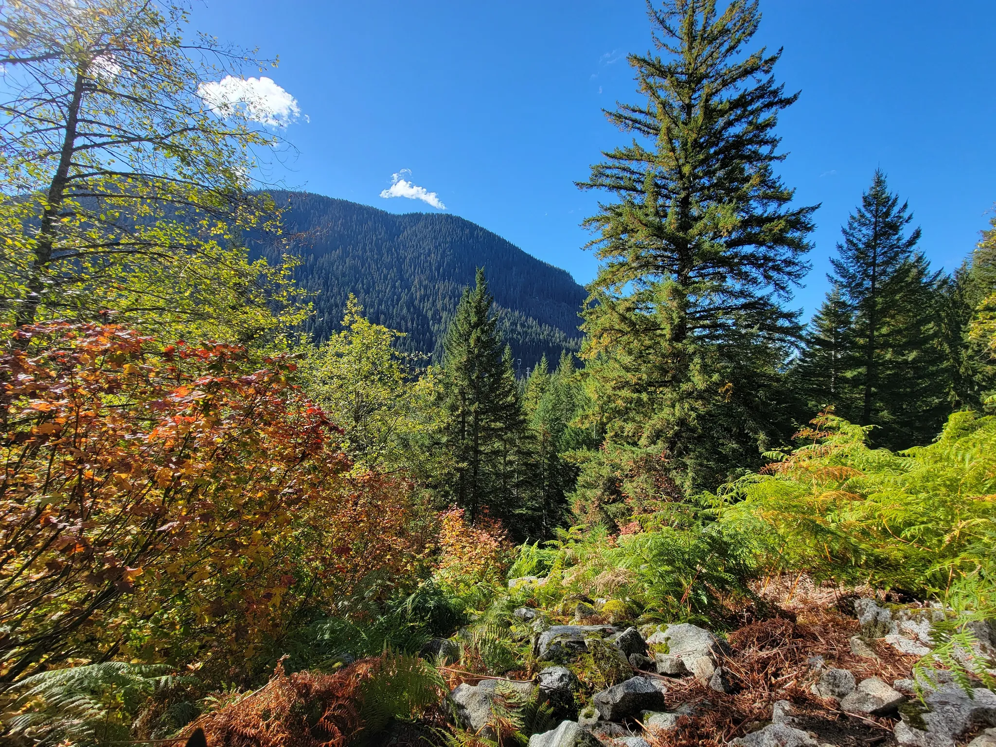
While contemplating these natural forces might seem alarming, understanding the risks helps visitors appreciate the dynamic landscape of the Cascades. Hikers exploring areas like the historic Iron Goat Trail gain a deeper connection to this volcanic region, witnessing firsthand how these powerful mountains have shaped Washington’s breathtaking terrain through the centuries.
Impacts and Preparedness
If Mount Rainier erupts, Seattle and surrounding communities face several potential hazards. Understanding these risks and knowing how officials prepare for them is crucial for residents and visitors alike.
Risk of Lahars and Mudflows in Seattle
Mount Rainier’s biggest threat isn’t lava or ash but lahars and mudflows. These fast-moving rivers of concrete-like mud can travel at speeds of 40-50 mph down river valleys.
While Seattle itself sits outside the direct lahar danger zones, nearby communities face serious risks. The Puyallup Valley and suburbs of Tacoma would be most affected. Cities like Orting, located in the valley, have been built on ancient lahar deposits.
These mudflows can reach incredible distances. Historical evidence shows they’ve traveled all the way to Puget Sound. Modern developments in these pathways put thousands of people at risk.
The volume of potential lahars is staggering – they can contain enough material to cover entire towns with mud and debris several feet deep.
Emergency Measures and Evacuation Strategies
Local emergency management agencies have developed extensive plans for volcano emergencies. Evacuation routes are clearly marked throughout vulnerable communities with blue signs showing a person running uphill.
Communities like Orting practice regular evacuation drills. Their motto: “Get to higher ground, and don’t delay.” Residents typically have 45-60 minutes to evacuate after a lahar begins.
Seattle and Tacoma have emergency response plans that include:
- Designated evacuation routes
- Emergency shelter locations
- Communication systems for alerts
- Coordination with state and federal agencies
Annual “Lahar Awareness Week” helps educate residents about warning signs and appropriate responses. Schools in danger zones conduct monthly drills, similar to earthquake preparedness exercises.
Volcanic Activity Monitoring and Warning Systems
The U.S. Geological Survey and Cascades Volcano Observatory maintain extensive monitoring networks on Mount Rainier. These systems track:
- Seismic activity (earthquake swarms often precede eruptions)
- Ground deformation
- Gas emissions
- Temperature changes
- Water chemistry in streams
Scientists believe they would detect warning signs days or weeks before a major eruption. This monitoring network connects to automated alert systems.
Acoustic flow monitors are installed in valleys to detect lahars. If triggered, they activate emergency sirens in towns like Orting, giving precious evacuation time.
The USGS issues regular updates about volcanic activity levels using a color-coded system. Mount Rainier typically remains at Green (normal) or Yellow (elevated) status, with constant vigilance from dedicated scientists.
Find available hotels and vacation homes instantly. No fees, best rates guaranteed!
Check Availability Now
Iron Goat Trail Hiking Guide: Exploring Washington’s Scenic Railway Path
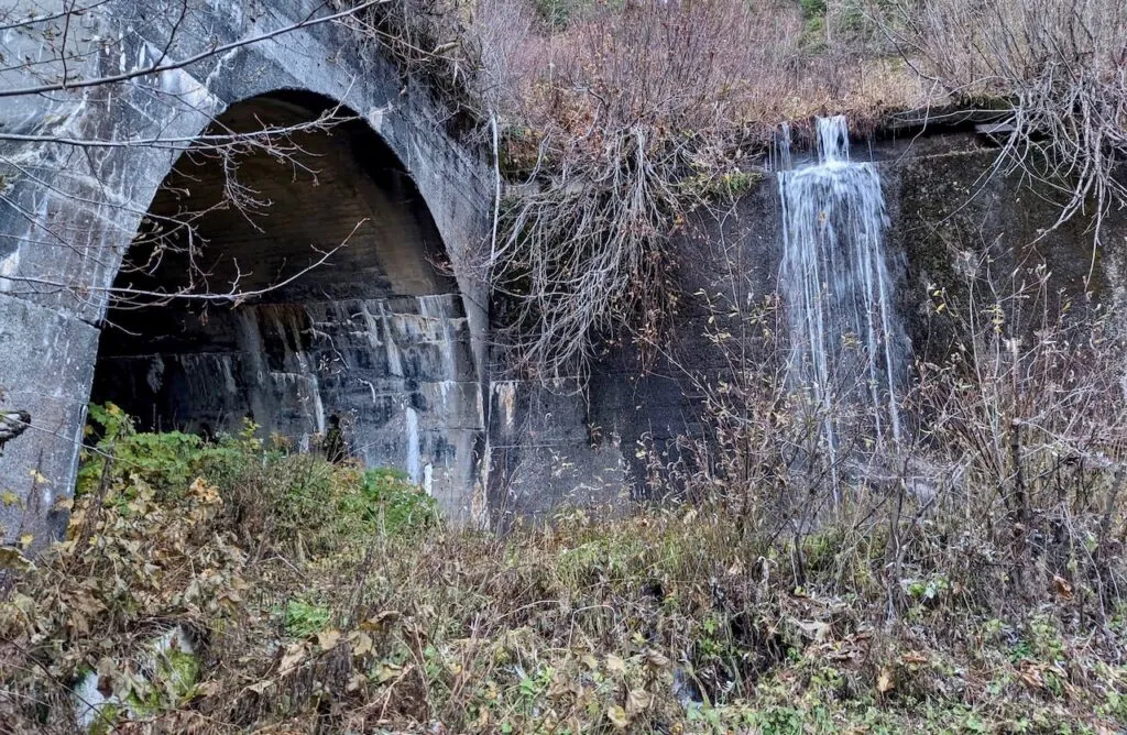
Iron Goat Trail History: Exploring the Legacy of the Great Northern Railway
Things to Do Near Skykomish, Washington
