Washington state is home to five active volcanoes that could pose risks to nearby communities. Mount Rainier, located less than 70 miles from Seattle, is considered the most dangerous volcano in Washington due to its proximity to densely populated areas and potential for destructive lahars (volcanic mudflows). While Mount St. Helens might be more famous for its 1980 eruption, the USGS actually ranks it as the third highest-risk volcano in the entire country.
The other active volcanoes in Washington include Mount Baker, Mount Adams, and Glacier Peak. Each has its own eruption history and potential hazards. Recently, one of these normally quiet “high threat” volcanoes has been rumbling at a record rate, though geologists believe an eruption isn’t imminent.
Find available hotels and vacation homes instantly. No fees, best rates guaranteed!
Check Availability Now
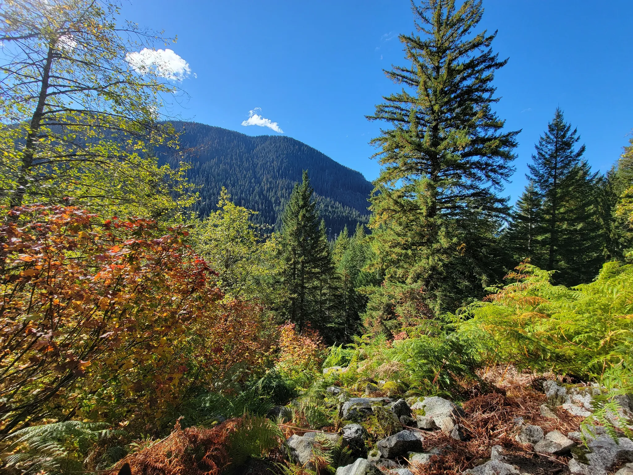
For visitors to Washington, understanding volcanic risks shouldn’t discourage exploration but rather enhance appreciation for these majestic mountains. Many hiking trails, including the historic Iron Goat Trail, offer spectacular views of these sleeping giants while teaching visitors about the powerful geological forces that shaped this beautiful landscape.
Recognizing the Risks
Washington state’s five active volcanoes pose varying levels of danger to surrounding communities through lahars, ashfall, and other volcanic hazards that require ongoing monitoring and awareness.
Mount Rainier: A Close Look
Mount Rainier stands as Washington’s most dangerous volcano, looming less than 70 miles from Seattle. This sleeping giant presents a significant threat due to its massive glaciers and proximity to populated areas.
The primary danger comes from lahars – powerful volcanic mudflows that can travel at speeds up to 50 mph. These destructive flows could potentially reach cities like Tacoma and Puyallup, giving residents minimal evacuation time.
Mount Rainier’s lahars are particularly concerning because they don’t require a full eruption to trigger. Heavy rain or minor seismic activity could destabilize the mountain’s slopes, sending deadly flows toward communities below.
The USGS maintains sophisticated monitoring equipment on Rainier, including seismic sensors and GPS stations that detect even slight movements. These systems provide crucial early warnings for nearby residents.
Glacier Peak: Hidden Threats
Unlike its more famous neighbor, Glacier Peak remains relatively unknown despite being classified as a “high threat” volcano. Its remote location masks its violent history.
Recent studies show Glacier Peak has been “rumbling at a record rate,” prompting increased attention from geologists. Despite these rumblings, experts believe an immediate eruption remains unlikely.
What makes Glacier Peak particularly dangerous is its explosive potential. Historical eruptions sent ash hundreds of miles away and generated massive lahars that reached what is now the Puget Sound.
The volcano’s remote location creates monitoring challenges, though the USGS has expanded its sensor network in recent years. Hikers in the area might notice monitoring stations while exploring the wilderness surrounding this deceptively peaceful peak.
Comprehensive Hazard Zones
Washington’s volcanic hazard zones extend far beyond the immediate vicinity of each mountain. Scientists have mapped these areas based on:
- Lahar pathways following river valleys
- Ashfall patterns determined by prevailing winds
- Pyroclastic flow potential in immediate volcanic areas
Communities within these zones have developed specific evacuation plans and warning systems. In the past 4,000 years, the Cascade Range has averaged about two eruptions per century when considering all volcanoes in the region.
The state’s volcanoes are all stratovolcanoes – steep, cone-shaped mountains built from hardened lava and pyroclastic rock. This formation type is known for particularly explosive eruptions.
Visitors to Washington’s mountains, including the popular Iron Goat Trail, should familiarize themselves with these hazard zones and local emergency procedures before exploring these beautiful but potentially dangerous landscapes.
Preparation and Response Strategies
Living near active volcanoes requires careful planning and awareness. Being prepared can make all the difference when volcanic threats emerge in Washington State.
Emergency Preparedness Plans
Every family in Washington’s volcano hazard zones should create a detailed emergency preparedness plan. This plan should include meeting locations, communication strategies, and roles for each family member.
Keep emergency supplies ready year-round. A good kit includes:
- Water (one gallon per person per day for at least three days)
- Non-perishable food
- Battery-powered radio
- Flashlight and extra batteries
- First aid supplies
- Dust masks or N95 respirators for ash protection
- Plastic sheeting and duct tape
Households should also prepare for ash fall by covering electronics and having extra filters for HVAC systems. People with respiratory conditions need extra precautions during ash events.
Communities like those near Mount Rainier practice emergency drills regularly. These exercises help everyone understand what to do during an actual event.
Monitoring and Alert Systems
The U.S. Geological Survey (USGS) maintains comprehensive monitoring networks on all five active Washington volcanoes. These systems track seismic activity, ground deformation, gas emissions, and temperature changes.
The Volcano Notification Service provides timely alerts about changing conditions. Residents can sign up for these notifications via text, email, or social media. The alert levels use a color-coded system:
| Alert Level | Meaning | Action |
|---|---|---|
| Green | Normal | Monitor |
| Yellow | Advisory | Be aware |
| Orange | Watch | Prepare |
| Red | Warning | Take action |
Local radio stations and NOAA Weather Radio broadcast emergency information during volcanic events. These alerts give critical details about ash fall direction, lahar risks, and evacuation notices.
Community Evacuation Protocols
Communities near volcanoes like Mount Rainier have established evacuation routes marked with special signage. These routes direct people away from potential lahar paths toward higher ground.
Schools in hazard zones conduct regular drills and maintain supplies for emergencies. Many communities have installed warning sirens that activate when lahars are detected.
Seattle and surrounding areas have designated emergency shelters ready to house evacuees. These facilities stock essential supplies and provide medical services.
Transportation authorities have plans to manage traffic flow during evacuations. These include contraflow lanes on major highways and designated pickup points for those without vehicles.
Hikers on popular trails like the Iron Goat Trail receive safety information about volcanic hazards. Trailheads display evacuation routes and recommended actions if warnings occur while visitors are enjoying Washington’s beautiful volcanic landscapes.
Find available hotels and vacation homes instantly. No fees, best rates guaranteed!
Check Availability Now
Iron Goat Trail Hiking Guide: Exploring Washington’s Scenic Railway Path
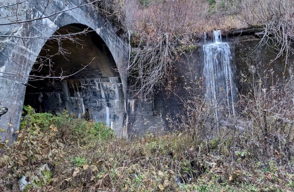
Iron Goat Trail History: Exploring the Legacy of the Great Northern Railway
Things to Do Near Skykomish, Washington
