Mount Rainier stands as a beautiful yet potentially dangerous neighbor to the communities of Seattle, Tacoma, and the Puget Sound region. Many residents and visitors often wonder about the warning signs before this sleeping giant awakens. As one of the most monitored volcanoes in the United States, Mount Rainier isn’t likely to surprise us with a sudden eruption.
Scientists believe that there will likely be anywhere from a few days to a week or more of warning before an eruption takes place at Mount Rainier. The Cascades Volcano Observatory constantly monitors the mountain for signs of increasing volcanic activity, giving nearby communities valuable time to evacuate if needed. This monitoring includes watching for earthquakes, ground deformation, and changes in gas emissions that typically precede an eruption.
Find available hotels and vacation homes instantly. No fees, best rates guaranteed!
Check Availability Now
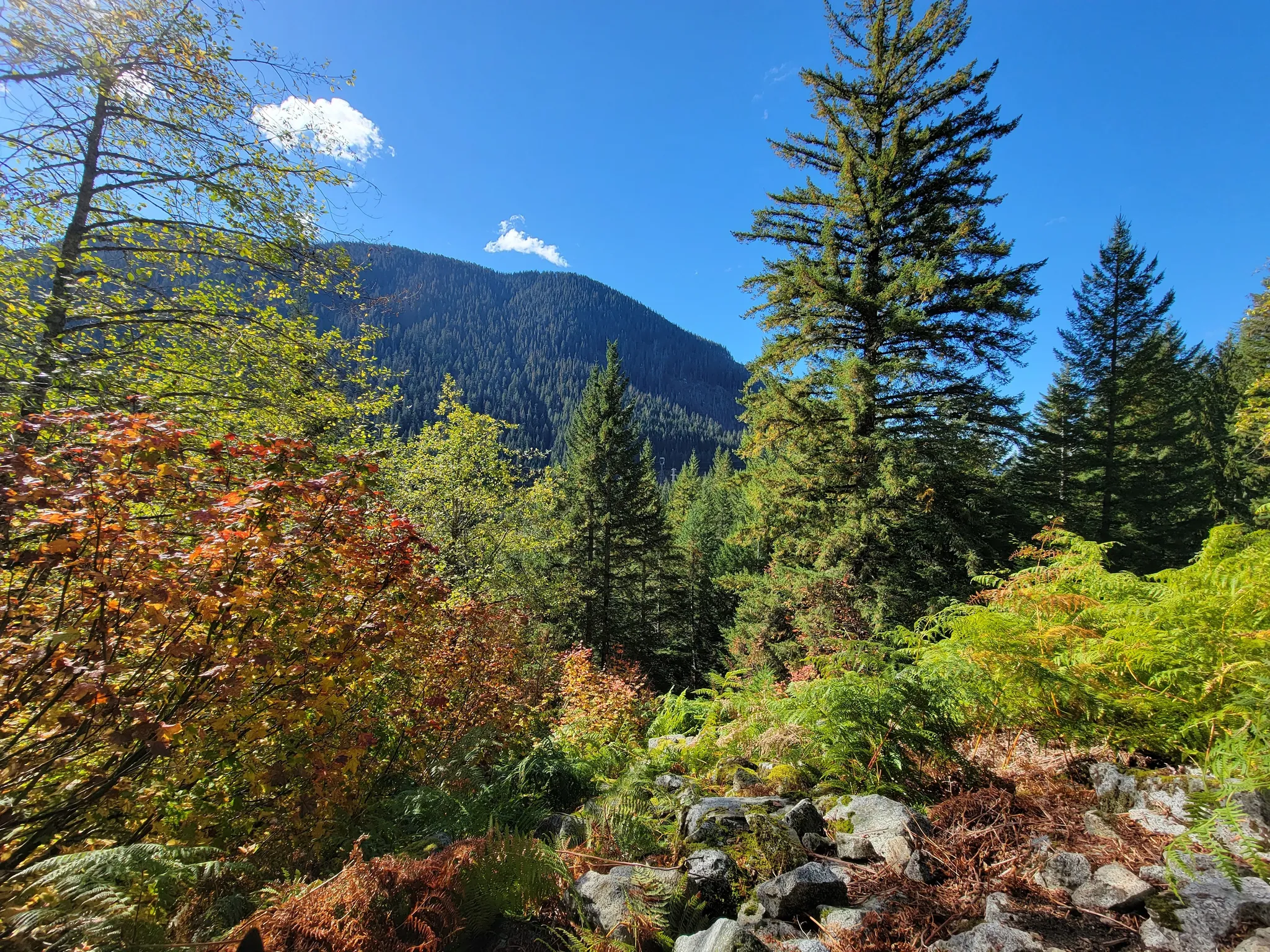
While the warning time for an eruption might be sufficient for evacuation, communities in valleys below the mountain have additional systems in place for more immediate threats like lahars – powerful mudflows that can travel quickly down river valleys. Towns like Orting have evacuation sirens that give residents roughly 40 minutes to reach higher ground. Hikers exploring nearby areas like the historic Iron Goat Trail can rest assured that these monitoring systems are working around the clock to keep everyone safe while they enjoy Washington’s natural beauty.
Understanding Mount Rainier’s Volcanic Hazards
Mount Rainier poses several significant dangers due to its geological makeup and proximity to populated areas. Its monitoring systems and evacuation plans are critical for public safety in the event of volcanic activity.
Volcanic Activity and History
Mount Rainier is a large stratovolcano of andesitic rock in the Cascade Range of Washington state. Standing at 4,392 meters (14,410 feet), it’s considered one of the most dangerous volcanoes in the United States.
The volcano has a complex history of eruptions that shaped the surrounding landscape. Past activity has included lava flows, pyroclastic flows, and massive lahars (volcanic mudflows).
Mount Rainier is designated as a “Decade Volcano” due to its potential threat to nearby communities. This classification highlights volcanoes that warrant special study due to their history and proximity to populated areas.
Unlike the dramatic 1980 eruption of nearby Mount St. Helens, Mount Rainier’s most significant hazard comes from lahars – fast-moving slurries of water, rock, and debris that can travel for miles down river valleys.
Seismic Monitoring and Warning Systems
The Cascades Volcano Observatory (CVO) continuously monitors Mount Rainier for signs of volcanic unrest. Their network includes seismic sensors that detect earthquakes and ground movements throughout the mountain.
Scientists pay particular attention to the West Rainier Seismic Zone, where many small earthquakes occur regularly. These minor tremors don’t necessarily indicate an impending eruption but help scientists understand the volcano’s behavior.
The Pacific Northwest Seismic Network works alongside the USGS to monitor ground deformation, gas emissions, and temperature changes. These indicators often show changes weeks or months before an eruption.
According to monitoring experts, there would likely be anywhere from a few days to a week or more of warning before an eruption. This timeframe allows emergency management teams to implement evacuation plans.
Preparation and Evacuation Strategies
Communities near Mount Rainier, including Tacoma, Puyallup, and Orting, have developed detailed evacuation strategies. These plans are regularly practiced through drills to ensure residents know what to do when warnings are issued.
Warning systems include sirens, emergency alerts, and educational programs that teach residents to recognize danger signs. The primary goal is to move people away from lahar zones quickly.
Pyroclastic flows and volcanic ash present significant dangers during an eruption. However, lahars remain the biggest threat to nearby communities, as they can travel far from the mountain through river valleys.
Visitors to the area, including hikers on the popular Iron Goat Trail, should familiarize themselves with emergency procedures. The trail’s information boards include safety tips and evacuation routes in case volcanic activity is detected during your visit.
Impact on Local Communities and Environment
Mount Rainier’s potential eruption would affect millions of people and dramatically alter the surrounding landscape. The consequences reach far beyond immediate danger, touching economic, ecological, and community aspects of life in the Pacific Northwest.
Economic and Recreational Impact
Mount Rainier National Park welcomes over 2 million visitors annually, generating significant revenue for nearby communities. An eruption would devastate this tourism economy, with businesses in towns like Ashford and Enumclaw suffering immediate losses.
The Seattle-Tacoma metropolitan area, home to over 3.3 million people, would face disruptions to transportation, utilities, and business operations. Ash fall could temporarily close airports and highways, while lahars might destroy critical infrastructure.
Recreation areas would be dramatically altered or destroyed. Popular hiking trails, camping spots, and ski areas like Crystal Mountain could be damaged or become inaccessible for years.
The economic ripple effects would extend throughout the Puget Sound region, affecting everything from property values to insurance rates, with recovery potentially taking decades.
Ecological Considerations
Mount Rainier’s ecosystem would undergo dramatic transformation following an eruption. The mountain hosts diverse wildlife including black bears, mountain goats, and over 280 bird species that would face immediate habitat loss.
Rivers and streams flowing from the mountain would be altered by lahars and ash, severely impacting fish populations including endangered salmon species. Water quality throughout the watershed would deteriorate, affecting aquatic life downstream.
Forest ecosystems could be destroyed by pyroclastic flows, ash fall, and lahars. However, volcanic soil eventually becomes extremely fertile. Over decades, this would lead to the development of new, possibly more diverse plant communities.
The changing landscape would create opportunities for invasive species to establish, potentially altering the ecological balance of the entire Cascades region for generations.
Community Preparedness and Response
Communities near Mount Rainier have developed extensive evacuation plans and early warning systems. Towns like Orting and Puyallup, at high risk from lahars, have installed warning sirens and conduct regular drills.
Schools around the mountain hold regular evacuation exercises, teaching students what to do if warnings sound. Some communities would have as little as 30 minutes to evacuate if lahars begin flowing.
The USGS works closely with local emergency managers to maintain monitoring equipment and communication systems. This collaboration helps ensure communities receive timely warnings about potential activity.
Visitors exploring nearby attractions like the historic Iron Goat Trail should familiarize themselves with emergency procedures before their trip. The trail, which follows the old Great Northern Railway route, sits within the broader Cascades volcanic region and would benefit from the same preparedness mindset that local communities maintain.
Find available hotels and vacation homes instantly. No fees, best rates guaranteed!
Check Availability Now
Iron Goat Trail Hiking Guide: Exploring Washington’s Scenic Railway Path
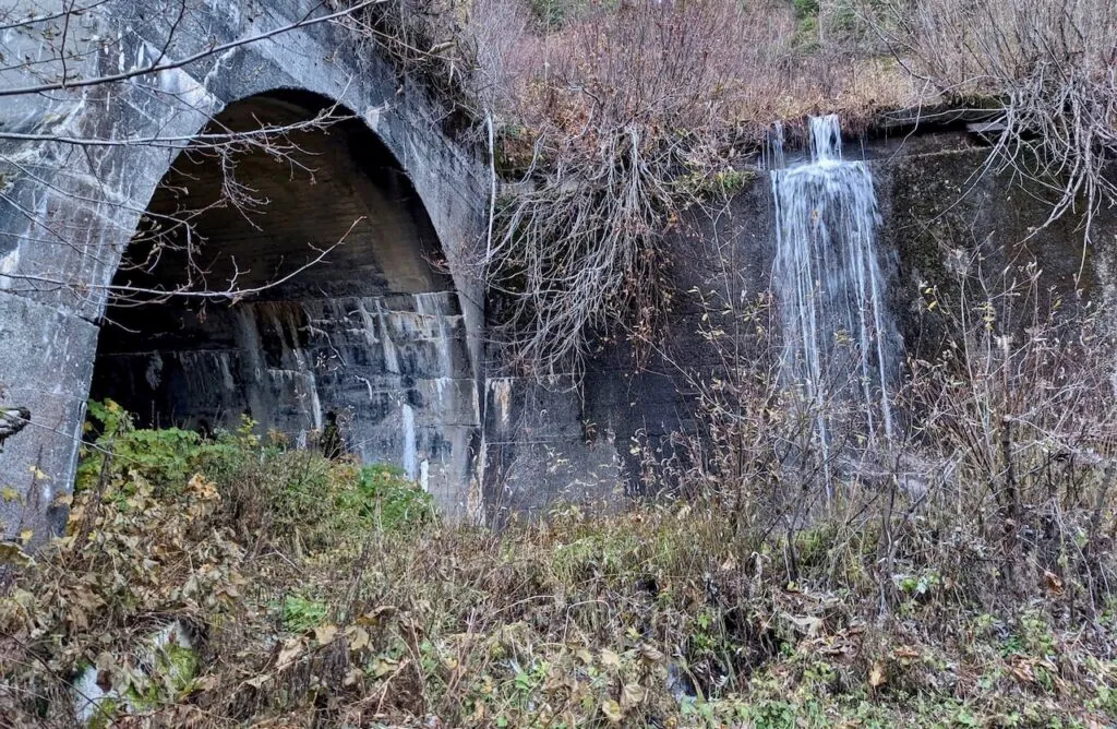
Iron Goat Trail History: Exploring the Legacy of the Great Northern Railway
Things to Do Near Skykomish, Washington
