When you think of iconic American mountains, Mt Shasta stands tall as one of the most impressive landmarks in Northern California. Rising majestically nearly 10,000 feet above the surrounding terrain, this impressive peak isn’t just any mountain – Mt Shasta is indeed a major stratovolcano in the Cascade Range, the second largest volcano in this famous volcanic chain. At 14,179 feet (4,322 m) tall, it ranks as the second-highest peak in the Cascade Range and the fifth-highest in California.
What makes Mt Shasta particularly notable is its massive size and prominent appearance. With an estimated volume of 85 cubic miles, it’s the most voluminous stratovolcano in the Cascade volcanic arc. The towns of Weed, Mt Shasta City, and McCloud nestle in the shadow of this snow and ice-clad giant. Unlike some other Cascade volcanoes, Shasta isn’t connected to nearby mountains, which makes its towering presence even more dramatic against the landscape.
Find available hotels and vacation homes instantly. No fees, best rates guaranteed!
Check Availability Now
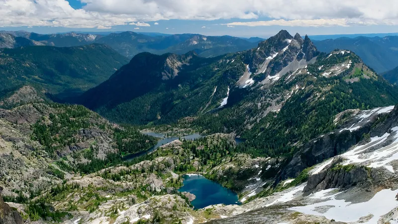
Located about 65 kilometers (40 miles) south of the Oregon-California border, Mt Shasta marks the southern portion of the Cascade Range, which continues northward through Oregon and Washington. While enjoying the stunning glaciers and volcanic features of Mt Shasta, mountain enthusiasts might also appreciate other notable trails in the broader Cascade region, such as hiking paths that combine natural beauty with fascinating history throughout this majestic mountain range.
Geology and Volcanic Activity of Mt Shasta
Mt Shasta stands as one of California’s most impressive geological features, with a complex volcanic history spanning hundreds of thousands of years. Its massive presence dominates the landscape with distinctive volcanic formations and ongoing geologic activity.
The Geological Composition of Mt Shasta
Mt Shasta is classified as a compound stratovolcano in the Cascade Range of Northern California. Standing at an impressive 14,162 feet, it ranks as one of the largest and highest volcanoes in the Cascade chain.
The mountain formed through repeated eruptions over approximately 600,000 years. These eruptions built up layers of volcanic materials including andesitic lavas, ash, and other debris.
What makes Mt Shasta unique is its structure with multiple overlapping volcanic cones. The main edifice consists of four distinct eruptive centers that created the massive mountain we see today.
About 350,000 years ago, an ancestral version of Mt Shasta experienced a major collapse. This event triggered an enormous landslide on its north flank, dramatically altering the mountain’s appearance.
Historical Eruptions and Volcanic Hazards
Mt Shasta has experienced regular eruptions throughout human history. Native American tribes recorded observations of volcanic activity long before European settlement in the region.
The volcano presents several hazard types:
- Lava flows – typically slow-moving but destructive to infrastructure
- Pyroclastic flows – fast-moving clouds of hot gas and volcanic matter
- Lahars – dangerous mudflows that can travel long distances
- Ash fall – can affect communities downwind of eruptions
Mt Shasta is designated as a “very high-threat volcano” by experts due to its eruptive potential and proximity to populated areas. The last confirmed eruption occurred in 1786, though some accounts suggest possible minor activity in the 1830s.
Current Monitoring and Volcanic Research
The United States Geological Survey maintains monitoring equipment around Mt Shasta to detect early warning signs of potential volcanic activity. This includes seismometers to track earthquake activity and instruments to measure ground deformation.
Scientists regularly study gas emissions and hot springs around the mountain. Changes in these features can indicate movement of magma beneath the surface.
Research continues to improve understanding of Mt Shasta’s eruptive patterns. By studying past eruptions through geological deposits, scientists can better predict future volcanic scenarios.
Local communities participate in emergency planning for volcanic events. This planning includes evacuation routes and communication systems to alert residents of potential danger.
Visitors to Mt Shasta can learn about its geological significance through educational programs, much like how hikers on trails throughout the American West discover the unique geological stories of each region.
Find available hotels and vacation homes instantly. No fees, best rates guaranteed!
Check Availability Now
Iron Goat Trail Hiking Guide: Exploring Washington’s Scenic Railway Path
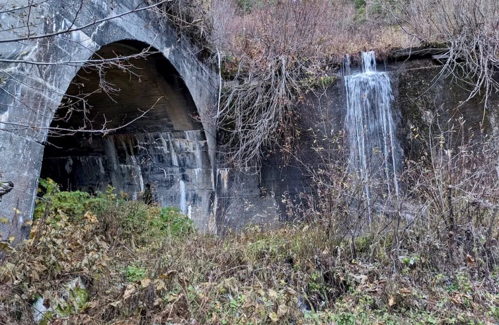
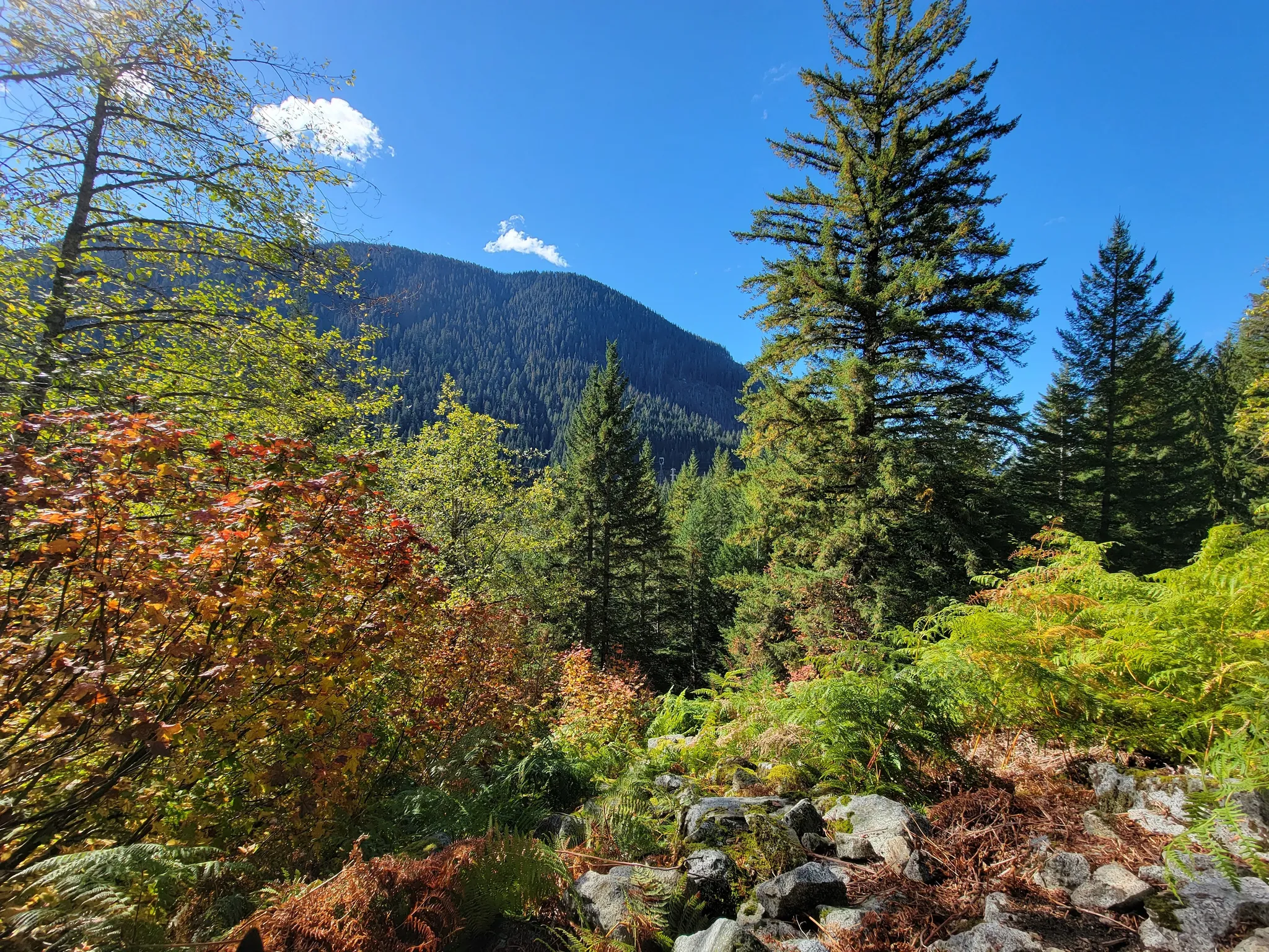
Iron Goat Trail History: Exploring the Legacy of the Great Northern Railway
Things to Do Near Skykomish, Washington
