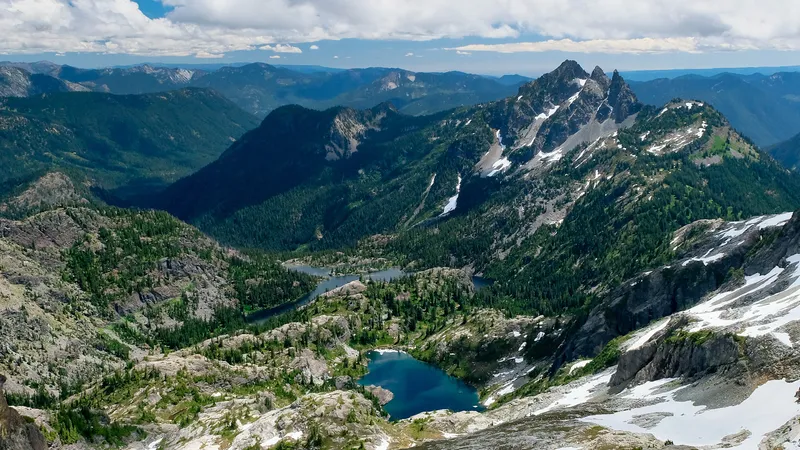
Mount Rainier stands tall as one of the most beautiful yet potentially dangerous active volcanoes in the United States. Located in Mount Rainier National Park, this sleeping giant attracts thousands of visitors every year who marvel at its snow-capped beauty. But beneath this serene exterior lies a volcano that scientists closely monitor for signs of awakening.
If Mount Rainier were to erupt, several cities would face significant danger, with Olympia, Tacoma, and Puyallup potentially being covered in 20 feet of mud and debris within just one hour of the eruption due to fast-moving lahars (volcanic mudflows). While Seattle might escape the direct blast and pyroclastic flows, the city could still experience ashfall depending on wind patterns at the time of eruption.
Find available hotels and vacation homes instantly. No fees, best rates guaranteed!
Check Availability Now
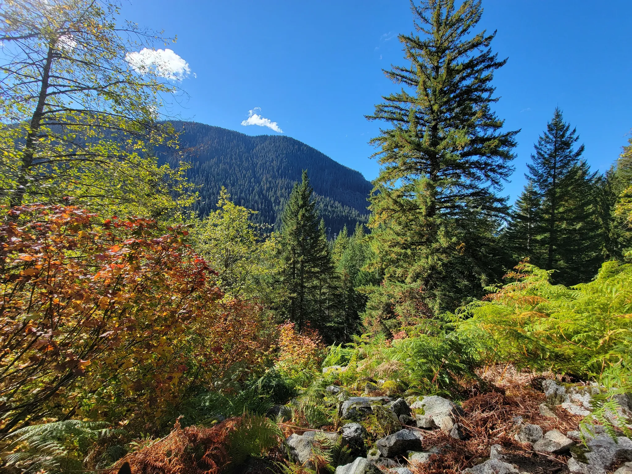
The threat is most severe for communities in the southern and eastern parts of the Seattle metropolitan area, where millions of residents live in potential danger zones. Local authorities take this threat seriously, with schools around Mount Rainier regularly conducting evacuation drills to prepare for this possibility. For hikers exploring nearby areas like the historic Iron Goat Trail, understanding volcanic risk is an important part of wilderness preparedness in this breathtaking yet potentially volatile landscape.
Impact on Local Cities
Mount Rainier’s potential eruption poses varying levels of risk to cities in the region. The proximity to lahars and ash fall determines how severely each community would be affected.
Seattle’s Preparedness and Risk
Seattle, with its 3.3 million metro area residents, would face significant challenges during a Mount Rainier eruption. The city itself is unlikely to be directly destroyed by lahars (volcanic mudflows), but would still experience disruptions.
The main risk to Seattle comes from volcanic ash fall, which could:
- Cause respiratory problems for residents
- Disrupt transportation systems
- Affect water supplies
- Damage electrical infrastructure
Seattle’s emergency management teams have developed evacuation plans specifically for volcanic events. These plans include designated evacuation routes and emergency shelters.
Unlike the communities in valleys directly connected to Mount Rainier, Seattle’s distance provides valuable time for evacuation if necessary. However, residents should still be familiar with emergency protocols.
Tacoma and the Puyallup Valley
Tacoma and the Puyallup Valley face much greater danger due to their location. These areas sit directly in the path of potential lahars, which are fast-moving mudflows containing volcanic debris.
Tacoma would see severe impacts with limited access after an eruption. The city’s ports on Puget Sound would be affected by sedimentary deposits from lahars.
The Puyallup Valley is especially vulnerable as it sits in a natural channel for mudflows coming down from Mount Rainier. Historical evidence shows previous lahars have traveled through this valley.
Communities like Puyallup, Orting, and Sumner have installed warning systems specifically for volcanic activity. Evacuation drills are regularly practiced in schools and businesses throughout the valley.
Other Affected Areas
Several other communities would face significant impacts from a Mount Rainier eruption. Enumclaw, Kent, Auburn, and Renton could all be wiped out or severely damaged by lahars.
Pierce County has implemented comprehensive emergency response plans, learning from the Mount St. Helens eruption of 1980. Communities now have:
- Lahar detection systems
- Warning sirens
- Evacuation route signage
- Community education programs
Olympia, though farther away, would still experience ash fall and potential economic disruption. The entire Puget Sound region’s transportation networks would be affected.
Visitors to the region, especially hikers on popular trails like the Iron Goat Trail, should be aware of evacuation routes and warning signs of volcanic activity when exploring Washington’s beautiful but potentially hazardous landscape.
Find available hotels and vacation homes instantly. No fees, best rates guaranteed!
Check Availability Now
Iron Goat Trail Hiking Guide: Exploring Washington’s Scenic Railway Path
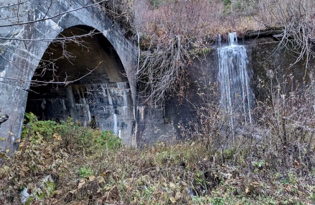
Iron Goat Trail History: Exploring the Legacy of the Great Northern Railway
Things to Do Near Skykomish, Washington
