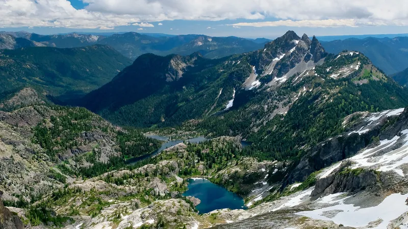
Mount Rainier stands as a beautiful yet potentially dangerous neighbor to many Washington residents. As an active volcano in the Cascades, it hasn’t produced a significant eruption in over 1,000 years, but scientists warn this peaceful period won’t last forever.
If Mount Rainier erupted, it would likely produce volcanic ash, lava flows, and deadly pyroclastic flows, but the most dangerous threat would be massive lahars (mudflows) that could travel at high speeds through nearby communities, potentially affecting hundreds of thousands of people in the Puget Sound region.
Find available hotels and vacation homes instantly. No fees, best rates guaranteed!
Check Availability Now
The signs of an impending eruption would likely include increased earthquake activity, ground deformation, and changes in gas emissions from the mountain. While Mount Rainier is considered the most threatening volcano in the Cascades due to its size, glaciers, and proximity to populated areas, modern monitoring systems give scientists the ability to provide warnings before a major event occurs.
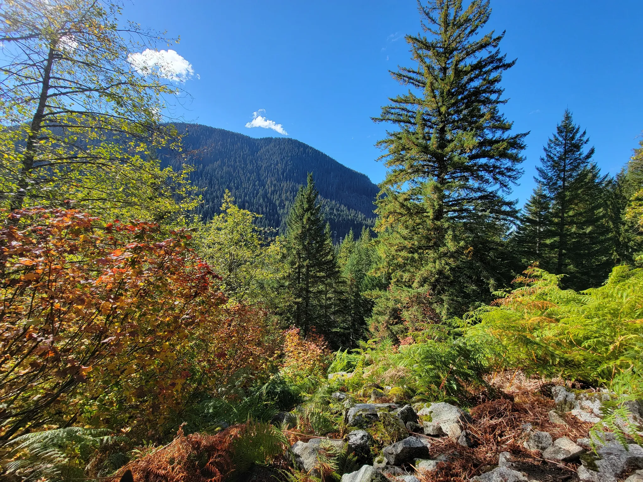
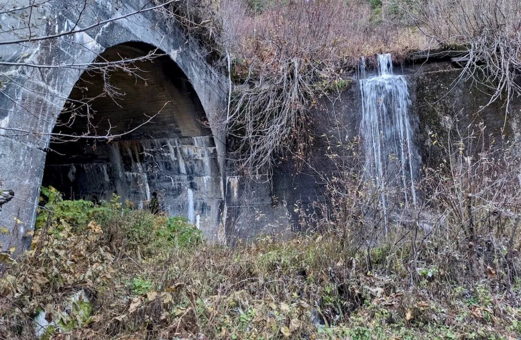
Visitors to Washington can witness the majesty of this sleeping giant from many vantage points. Those interested in volcanic landscapes can explore the region safely while appreciating the power of these natural formations. The Iron Goat Trail offers hikers a unique perspective on the region’s geological history while winding through the beautiful Cascade Mountains, all within sight of Mount Rainier’s imposing silhouette.
Impacts of a Mount Rainier Eruption
Mount Rainier’s eruption would trigger catastrophic changes to the surrounding landscape and communities. The mountain’s size and glacial coverage make it particularly dangerous compared to other volcanoes in the Cascades.
Immediate Geophysical Effects
An eruption would likely begin with increased seismic activity and small earthquakes as magma rises through the volcano. When Mount Rainier erupts, it would produce explosive volcanic ash clouds that could travel for miles, affecting air quality and visibility.
One of the greatest dangers would be lahars – massive volcanic mudflows that combine hot ash, rock, and melted glacial ice. These fast-moving flows could travel at speeds up to 50 mph, following river valleys for 50+ miles.
Pyroclastic flows – superheated clouds of gas and rock – would destroy everything in their immediate path. These flows move at hurricane speeds and reach temperatures over 1,000°F.
The eruption could trigger landslides and avalanches on the mountain’s unstable slopes, creating additional hazards for nearby communities.
Environmental and Ecological Consequences
The environmental impact would be severe and long-lasting. Mount Rainier National Park’s diverse ecosystems would face immediate habitat destruction from lahars, ash fall, and debris flows.
Ash deposits would damage plant life by blocking sunlight and changing soil chemistry. Animals would lose food sources and shelter, forcing wildlife to relocate or face population declines.
Waterways would be dramatically altered as lahar deposits and debris fill river valleys. These changes would disrupt aquatic ecosystems and impact salmon runs crucial to the region’s ecological balance.
Forests would be flattened in some areas while buried under ash and mud in others. Recovery of the ecosystem would take decades, with new plant communities eventually establishing on the altered landscape.
Visitors exploring sites like the historic Iron Goat Trail might notice how previous volcanic events have shaped Washington’s landscape, offering a glimpse into how nature recovers from such powerful forces.
Response and Preparedness Strategies
Being prepared for a Mount Rainier eruption requires both community planning and scientific vigilance. These efforts focus on saving lives and reducing damage if this active volcano were to erupt.
Community Safety Plans
Communities near Mount Rainier have developed detailed evacuation plans to protect residents. Towns like Orting, Puyallup, and Tacoma have established clear evacuation routes marked with volcano evacuation signs pointing people to safety. These routes direct people away from valleys where dangerous lahars (mudflows) might flow.
Pierce County Emergency Management works with local cities to run practice drills. Schools in high-risk areas hold regular evacuation exercises. Students learn to quickly move to higher ground if warning sirens sound.
Emergency supply kits are recommended for all households. These should include:
- Water (3-day supply)
- Non-perishable food
- Dust masks for ash
- Battery-powered radio
- First aid supplies
Scientific Monitoring and Prediction
The U.S. Geological Survey monitors Mount Rainier through its Cascades Volcano Observatory. Scientists use a network of instruments to watch for warning signs of an eruption.
These monitoring systems include:
- Seismometers that detect earthquake activity
- GPS units that measure ground deformation
- Gas-monitoring equipment that tracks changes in volcanic emissions
- Temperature sensors on the mountain
The Pacific Northwest Seismic Network provides real-time data about Mount Rainier’s activity. This information helps geologists predict when an eruption might occur, giving communities valuable warning time.
Climate change may influence volcanic activity by changing pressure on the mountain as glaciers melt. Scientists closely study these potential connections between warming temperatures and volcanic behavior throughout the Cascade Range.
Find available hotels and vacation homes instantly. No fees, best rates guaranteed!
Check Availability Now
Iron Goat Trail Hiking Guide: Exploring Washington’s Scenic Railway Path
Iron Goat Trail History: Exploring the Legacy of the Great Northern Railway
Things to Do Near Skykomish, Washington
